Map of Vermont
Llewellyn Collection of Vermont History
Published Materials
Identifier
2010.1.1446
Date
1850 (Circa Date)
Object Type
Maps
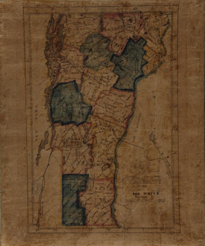
Description
Hand-drawn and colored map of the State of Vermont, depicting counties, towns, and waterways. County boundaries are outlined in watercolor. Titled "Map / of / Vermont / by / Geo. White / Greenbush, Vt." in lower right of front. Framed.
Dimensions
10 in (W)
11.75 in (H)
Material
Paper, Textile
Subject
Vermont--Maps (is described by)