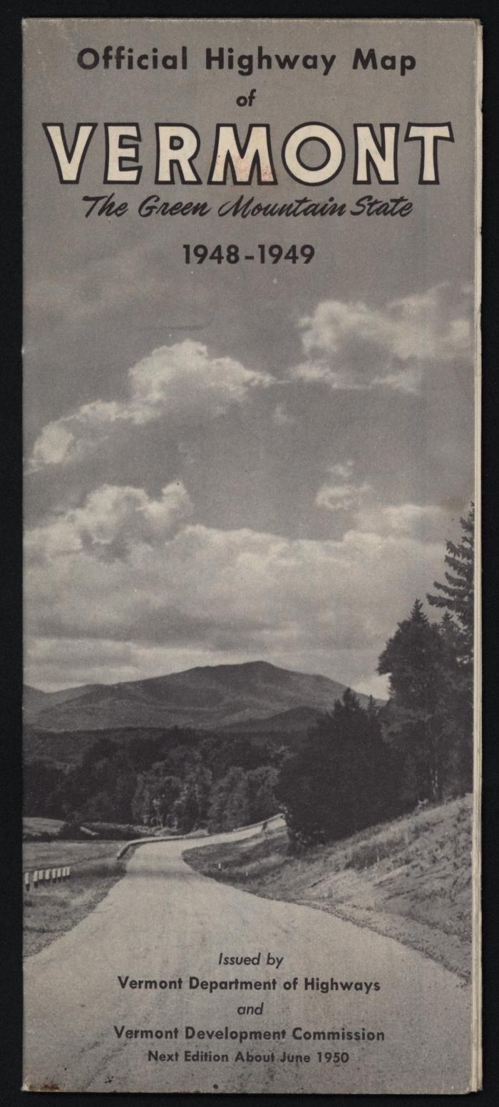
Official Highway Map of Vermont: The Green Mountain State 1948-1949
Llewellyn Collection of Vermont History
Published Materials
Identifier
2010.1.441
Date
1949 (Exact Date)
Place of Publication
Montpelier, VT
Object Type
Maps
Description
Fold-out four-color map of the State of Vermont, depicting the state highway system, with descriptions of state motor vehicle laws, population by town, fish and game seasons, state forests, parks, and campgrounds, tourist information booths, and more.
Dimensions
9.2 cm (W)
21.5 cm (H)
Material
Paper
Notes
Dimensions taken of map when folded.
Library of Congress Subject Heading
Vermont--Description and travel [info:lc/authorities/subjects/sh85142826]
Subject
Vermont -- Description and Travel (depicts)