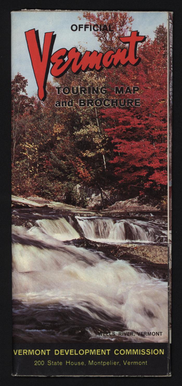
Official Vermont Touring Map and Brochure
Llewellyn Collection of Vermont History
Published Materials
Identifier
2010.1.444
Date
1950 – 1960 (Circa Date)
Place of Publication
Montpelier, VT
Object Type
Maps;Brochures
Description
Fold-out map of the State of Vermont and brochure. Covers feature color images of landscapes in Shrewsbury, Weathersfield, Panton, Wells, River, and East Corinth, Vermont. Interior contains map, description of Vermont, and profiles of individual Vermonters accompanied by black and white portraits of them.
Dimensions
10.1 cm (W)
22.8 cm (H)
Material
Paper
Notes
Dimensions taken of map when folded.
Library of Congress Subject Heading
Vermont--Description and travel [info:lc/authorities/subjects/sh85142826]
Subject
Vermont -- Description and Travel (depicts)